Contractor / Subcontractor | Reality capture for project communication
Description
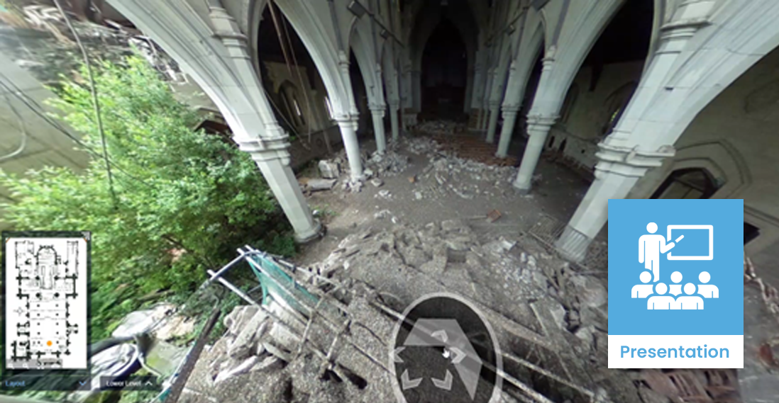
Reality capture is a technology that uses laser scanners, drones or photogrammetry to create a 3D digital representation of the construction works and surrounding environment.
Using this accurate, as-built representation of the site in conjunction with a BIM model serves as a solid foundation for project communication.

Case studies
Uses and benefits for health and safety
Enhance safety by helping construction personnel to better understand the site and identify hazards and mitigations.
Improve models and site drawings with accurately captured site features.
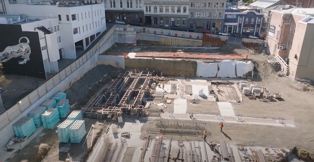
Demonstrate access for sites that have limited space to manoeuvre plant and equipment, by testing and measuring captured data prior to site works.
Technology/techniques
Reality capture relies on capturing the environment using some form of scanning technology.
Laser scanners work by creating a point cloud based on images of a solid surface or object. Scanners vary in range and accuracy and can be expensive and complex equipment. However, many are now handheld, with some even available as an app on phones.
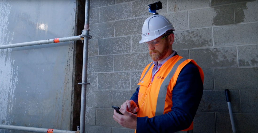
Photogrammetry captures photos from different angles and uses software to build up a spatial representation of the environment. The technique is commonly used on building projects as the 3D makes it possible walk through the virtual environment and take accurate measurements of features it contains.
Instead of relying on a person to carry the capture device, a drone or unmanned aerial vehicle (UAV) can do the work instead. They can be equipped with mapping-specific payloads used to capture images and data that can be processed to produce 3D models. The maximum flight time and range depends on the drone, but some can scan for 60 minutes over ranges up to 15 km range, making them useful in large civil and infrastructure projects.
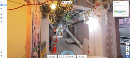
Using photogrammetry in live projects
It’s possible to record and merge data from multiple capture events using different capture technologies.
Model/data requirements
Laser scanning requires an unobstructed view of the area to be scanned. For the best results, captures should be taken at a time when obstructions like people, vehicles and temporary structures are at a minimum.
Like conventional photography, photogrammetry requires suitable lighting for the best results. The operator or drone also needs an unobstructed path to ensure images are captured with the correct timelapse.
Drone capture requires a clear flight path and good weather to achieve the best results.
Hardware and software requirements
Data capture requires a laser scanner or a 360-degree camera.
It’s recommended to use the manufacturer’s software to process the raw captured data, stitch scans together and convert to the required coordinate system.
Processing requires a desktop workstation – generally, the larger or more detailed the capture, the more processing power it will need.
When the model is complete, the rest of the project team can access it using publishing tools, such as Autodesk’s Recap software.
Contract/procurement implications
The project should identify its key BIM goals during the early stages of procurement – if it will use reality capture for project communication, as-built documentation, in situ state, and so on. This enables the contractor to price the necessary hardware, personnel and software.
Reality capture can be one-off or done on a regular basis, focusing on particular areas or activities that require translating real-world scenarios into a virtual representation.
Costs include the surveyor’s fee, hardware and software, and resources for post processing.
Roles and responsibilities
| Surveyor |
Sets the targets and coordinate systems used link data from different sources. They can also stitch together data to represent part or all of the site. |
| Site engineer |
Conducts the on-site data capture. ㅤ |
Training requirements
Operating a laser scanner or drone requires training. Using software to process the raw capture data is a semi-automated activity, depending on the manufacturer.
Photogrammetry usually requires no more training than an on-boarding meeting, as it works just like a camera.
The project will require an administrator, capable of managing and maintaining the data.
Future directions
Reality capture technology is transforming the way construction projects are communicated and managed. As the technology advances, it’s likely to be increasingly integrated into construction project workflows, further improving communication and efficiency while reducing costs and delays.
