Auckland Airport: Seeing the unseen
Summary
At Auckland Airport, the digital engineering team has utilised BIM and gaming software to improve underground utility mapping, visualisation, and construction site safety planning. By combining existing data with 3D scans, creating interactive models, and simulating various scenarios, the team has been able to reduce risks associated with underground services, enhance project team collaboration, and optimise site safety management.
Background
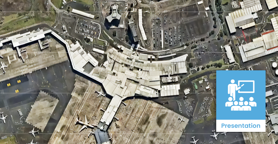
Auckland Airport owns and manages a vast 15.65 square kilometre campus, which includes not only the runway and terminal buildings but also utilities, roads, shopping malls, and hotels. With an ever-changing environment and a constant stream of projects, the airport faces challenges in managing and maintaining accurate information about its underground services, which can pose significant risks during construction.
This presentation was given by Robin Findlay, Digital Engineering Manager at Auckland Airport, at the BIMSafe Beyond the Blueprint event in Auckland.
Video
Approach
The digital engineering team at Auckland Airport has implemented several initiatives using BIM and gaming software to address these challenges:
1. Ground Penetrating Radar (GPR) scanning: The airport engages a company to scan designated project areas and compare the findings with existing data. This process helps identify the location and depth of underground services more accurately, which is then overlaid with the existing information in the airport’s GIS system.
2. On-site scanning using Vidoc units: Project managers use portable Vidoc units to capture geolocated point clouds of exposed services during construction. This allows the team to confirm whether the services were installed as per the design and helps improve the accuracy of as-built documentation.
3. Gamification pilot project: The airport conducted a pilot project using gaming software to create an interactive 3D environment that replicates the construction site. By importing project files and timelines, the team could visualise the progress of the work, identify potential hazards, and plan for safe traffic management and pedestrian access routes.
Health and safety benefits
- Reduced risk of underground service strikes: By combining existing data with 3D scans and on-site verification, the airport has significantly improved the accuracy of its underground utility information, reducing the risk of service strikes during construction.
- Improved collaboration and communication: The use of interactive 3D models and gaming software has enhanced collaboration and communication among project team members, enabling them to better understand the site conditions, visualise potential hazards, and plan for safe construction practices.
- Enhanced safety planning and management: By simulating various scenarios, such as traffic diversions and pedestrian access routes, the airport can proactively identify and mitigate potential safety risks, ensuring a safer working environment for all stakeholders.
Lessons learnt
People are key to successful implementation
While the tools and technologies are essential, the success of BIM and gaming software implementation relies heavily on people’s engagement and collaboration. It is crucial to involve all stakeholders in the process and ensure they are trained and comfortable with the tools being used.
Design with future use in mind
Designers should consider the future use of the information they create, as it will be recycled and reused for future projects. By putting in extra effort during the design phase, the airport can save time and resources in the long run.
BIM is not just an add-on
BIM should not be seen as an additional cost or hindrance but rather as a tool to create efficiencies and improve the overall design and construction process. By using the capabilities of BIM in other areas, such as automated material takeoffs and 3D visualisation, the airport has been able to streamline its processes and make better-informed decisions.

