Owner / Client | Reality capture for project communication
Description
Reality capture uses laser scanning and photogrammetry to produce accurate 3D models of the natural and built environment – from local terrain scans to building captures, even the inside of underground pipes. When combined with traditional survey methods, the technology can significantly improve the quality of information used by architects, engineers and contractors.
As BIM becomes more widespread in design and construction planning, reality capture is increasingly used to reduce the number of unknowns and reduce risk through better planning. Renovation and refurbishment projects can benefit greatly from using reality capture tools to document the existing conditions, especially complex or hazardous sites which are risky for people to visit.
Case studies
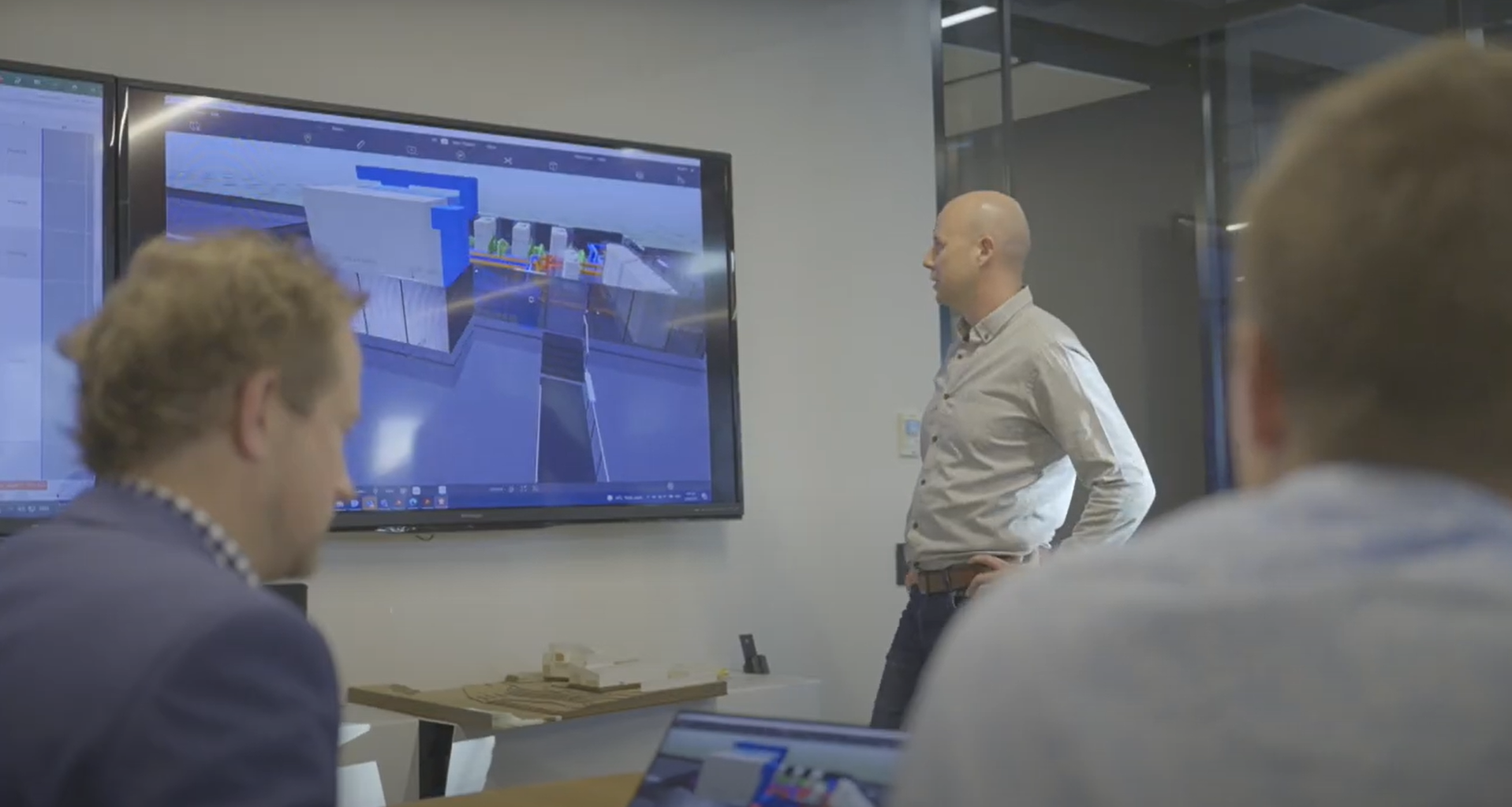
University of Auckland: Using BIM for Facilities Management safety planning
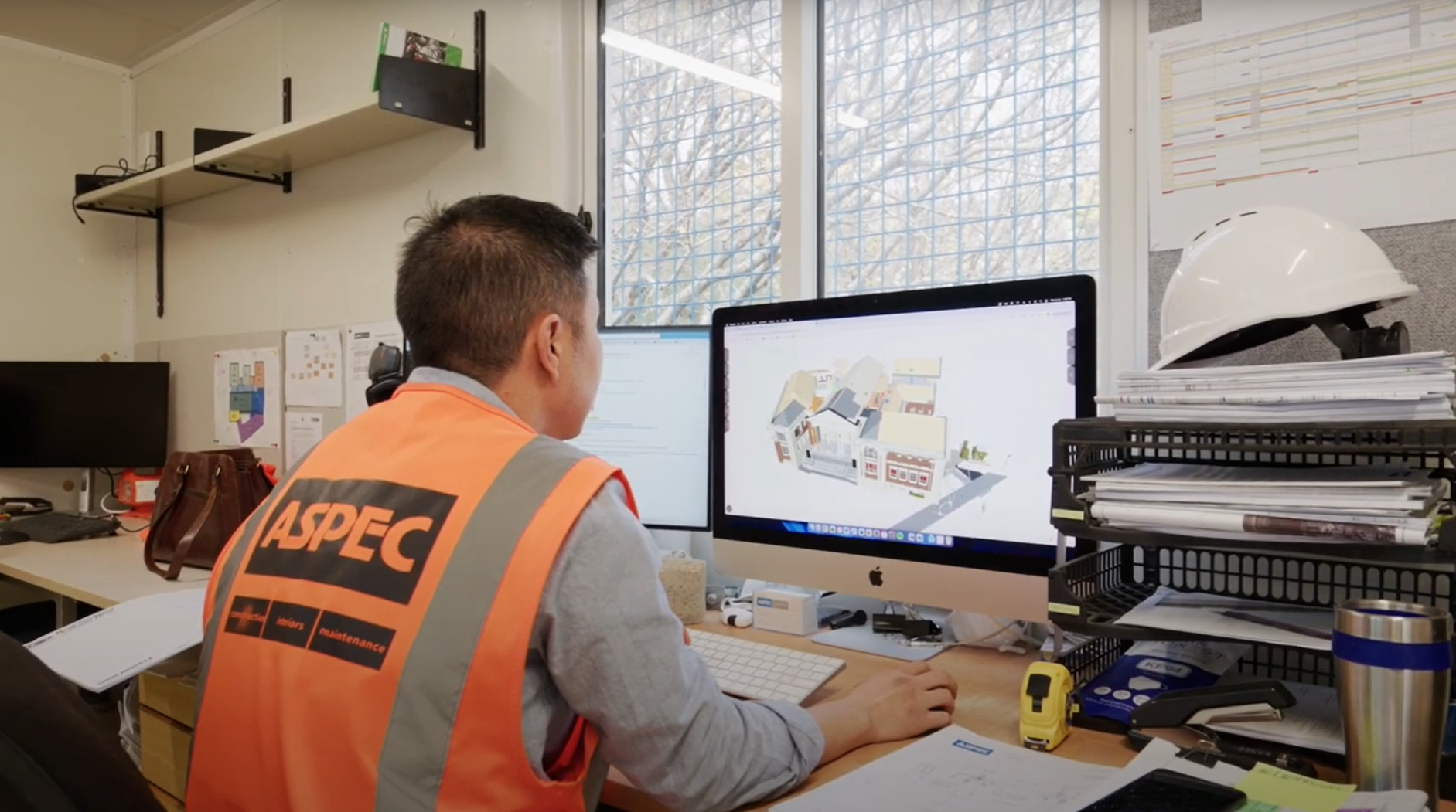
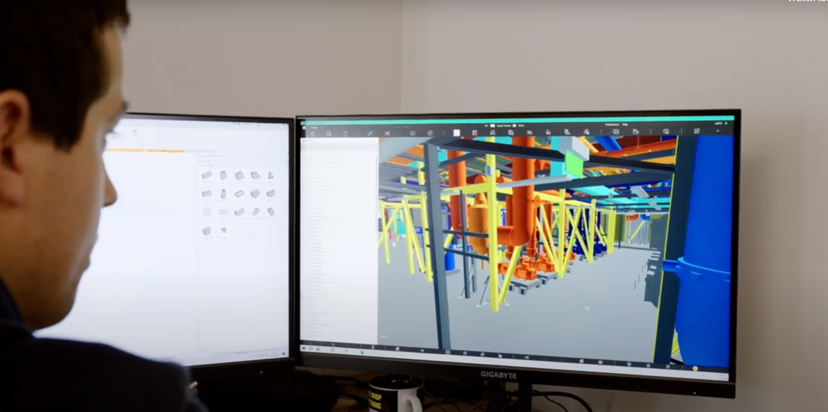
University of Auckland: BIM visualisation for Facilities Management
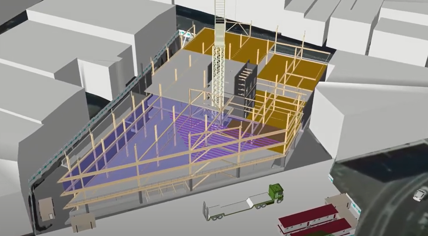
ACC Ōtepoti: Use of a 4D animation for planning
ACC Ōtepoti & Court Theatre: Use of BIM to improve site safety culture
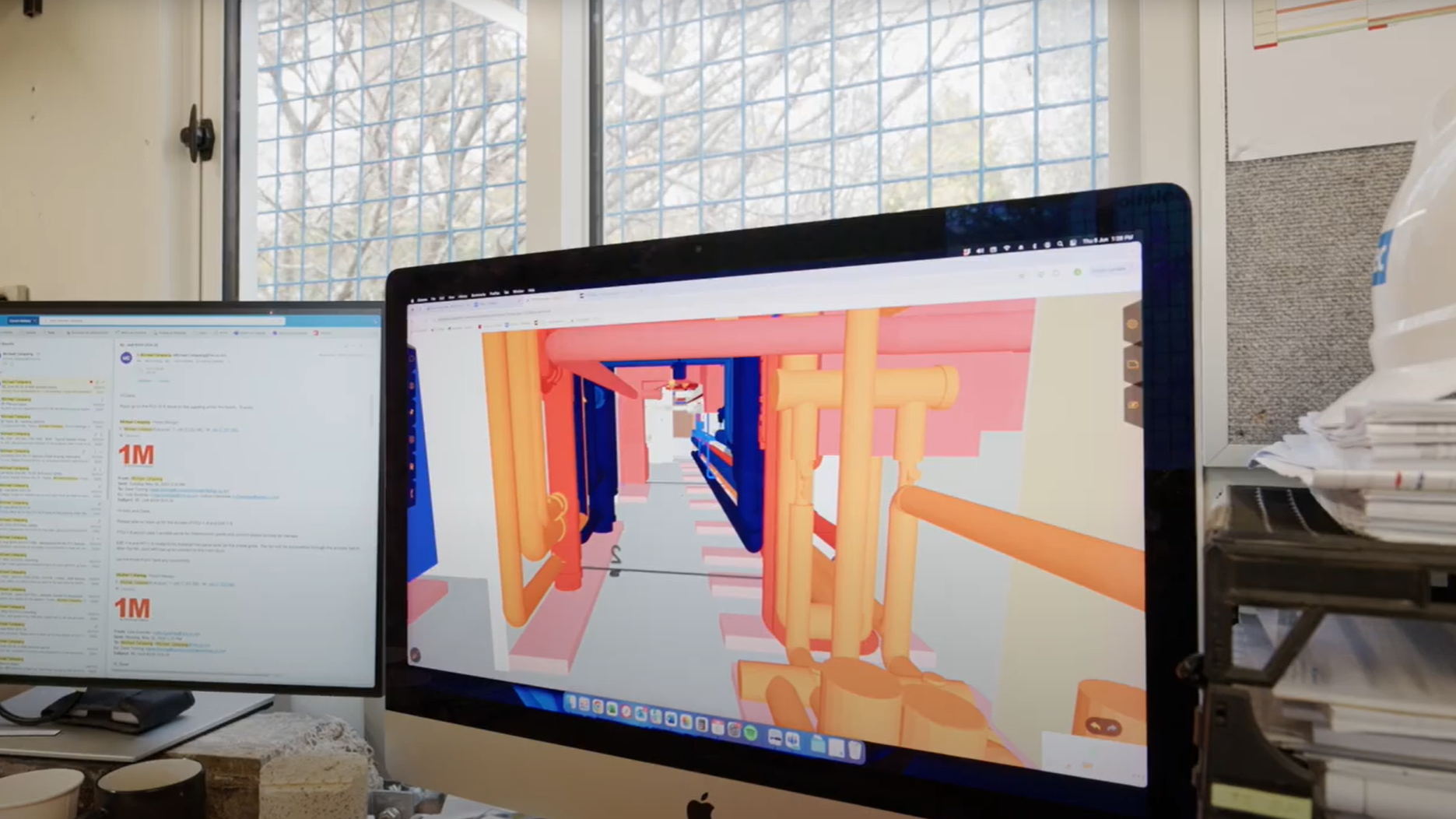
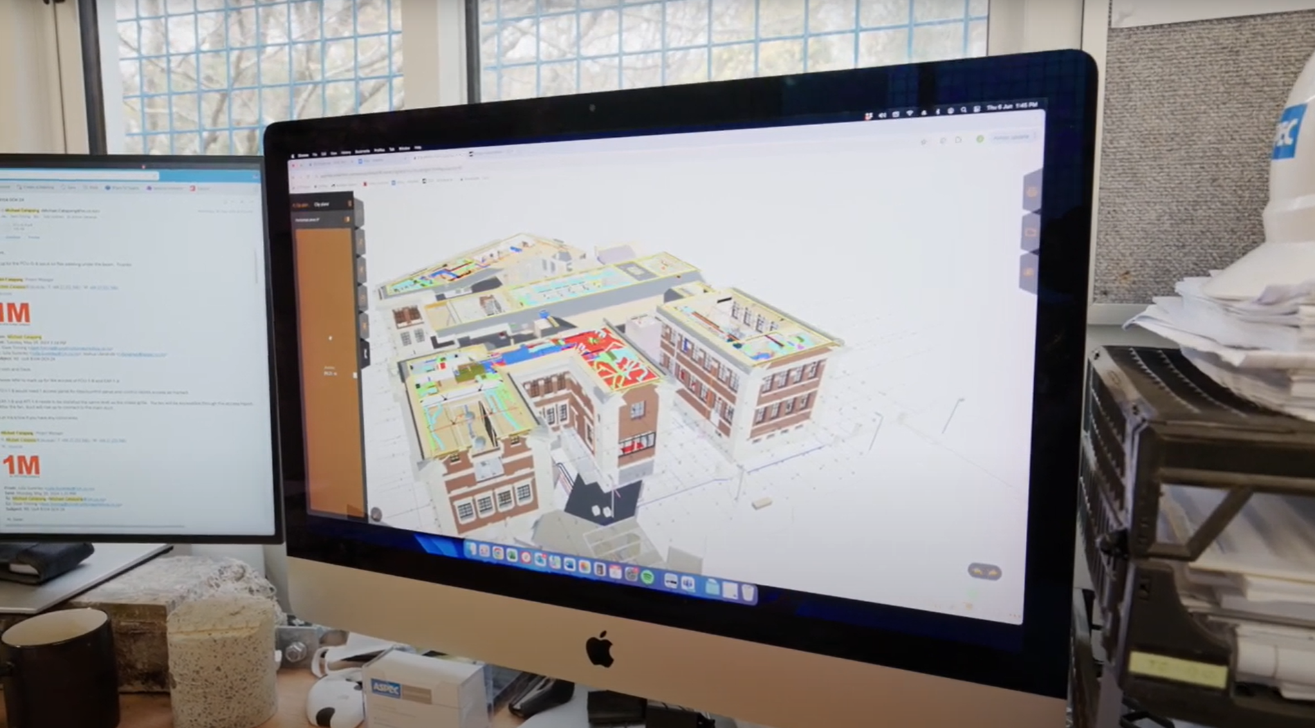
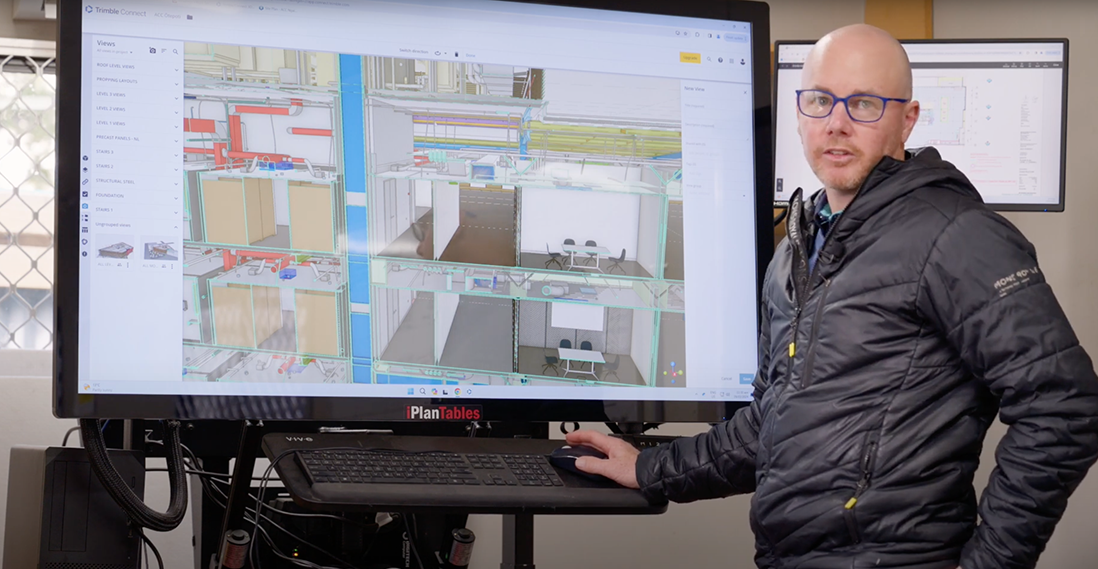
ACC Ōtepoti: Overlay of BIM model and reality capture using OpenSpace

Court Theatre: Creating a culture of collaboration

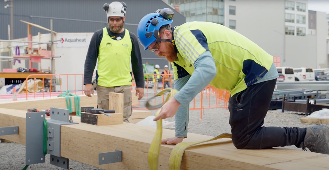
Court Theatre: Pre-planning for safer work
Dunedin Hospital Outpatients Building: Subcontractor modelling and prefabrication
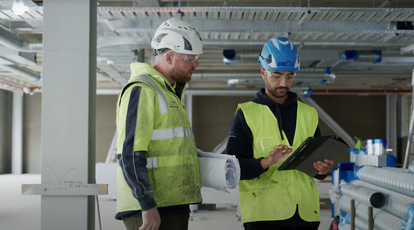
ACC Ōtepoti: Contractor methodology design and hazard ID
Uses and benefits for health and safety
Reduce project risk by providing accurate information about health and safety conditions, on both new and redevelopment sites. Reliable site information not only means safer workplaces, but more accurate planning, better designs, and less rework during construction. 3D scans and photogrammetry models are particularly useful for documenting hazardous spaces without putting people at risk of harm or unnecessary exposure to dangerous materials, such as asbestos; planning can then be done safely by exploring the space via a web viewer.
Other uses and benefits
- space
Produce accurate BIM models of existing assets. If a model already exists, reality capture can confirm its accuracy.
Provide 3D scans for projects that don’t require a full BIM model of an existing asset. Any new design work, such as an extension or retrofit, can use the reality capture data as a starting point and extend the model. For example, when extending a pipe network, locating the connection points may be sufficient – there’s no benefit to modelling the existing system
Verify as-built BIM models when construction is complete. If a project develops a BIM model during design and construction, a few laser scans or 360° video captures can reassure contractors and clients that the model is accurate.
Technology/techniques
Reality capture devices are becoming more accurate, cost-effective and easier for non-surveyors to use. For large sites and roof-top captures, drones are often the device of choice. Software can help plot a flight path and automatically fly the drone.
For ground surveys, the preferred technique depends on the required accuracy.
- space
- Terrestrial laser scanning (TLS) uses a scanner set on a tripod or mount and multiple scans taken from various stationary locations. Software stitches the scans together to build a complete picture of the environment. The operator must understand where to place the scanner to ensure the software can accurately join locations.
- space
- Simultaneous localisation and mapping (SLAM) requires the operator to carry a scanner through the space, while it captures lidar scans and 360° imagery.
- space
The latest SLAM devices are comparable with TLS devices. Leading SLAM devices provide accuracy of ±5–10 mm while TLS devices are accurate down to ±5 mm or less, depending on the quality of the device.
Model/data requirements
Depending on the software used to process the data, reality capture uses either a proprietary or open data format. Open formats enable users to export and view the data in a range of software.
Owners and clients should specify open formats, such as E57, PTS or LAS, in addition to the native software files formats, such as ReCap (RCP and RCS), Faro (FLS), Leica (PTX). The raw data files can be extremely large and are unusable without the right software. In most cases, it’s unnecessary to work with the raw files.
The key to reality capture is geolocation data. At the outset of a project, all parties should agree on a coordinate system and ensure all reality capture, BIM and CAD data conforms to the agreed system.
Hardware and software requirements
Reality capture requires hardware and software investment. Most hardware manufacturers require the use of specific software to process the raw data and make it available within model authoring and coordination tools. Some hardware products come with cloud-based processing software that automatically combines and geolocates the scan data.
More capable software is available for experienced users. However, this usually require a computer with significant processing power, RAM and storage space. An average workstation will struggle with reality capture data unless it is processed online. Data files can be upward of 30 GB and require significant bandwidth to transfer to cloud-hosted servers.
A range of reality capture hardware is available, including drones, 3D or lidar scanners, SLAM scanners, 360° cameras and robotics.
The choice of hardware depends on the job.
- space
- Large sites, such as a campus or city environment, are best captured using drones.
- space
- Buildings are best captured using 3D TLS, SLAM or 360° cameras.
- space
- Underground services and hazardous sites typically require a robotic device with some form of reality capture device attached.
Contract/procurement implications
When engaging a design consultant or contractor, the owner or client must make it clear in procurement documents what record information will be provided at the outset of a project. The supplier uses this information when factoring in risks – the more accurate the information, the fewer the unknowns and the lower the less risk for the consultant.
When procuring surveyors, consider asking for reality capture data in the format used by the design and construction teams, rather than leaving it to the surveyor to deliver traditional survey information, such as 2D CAD.
Reality capture may cost more than a traditional survey, so it’s important to clarify the survey scope and costs up front. Always ensure the surveyor understands the project’s needs. It’s easy to capture too much detail when using reality capture, and providing a clear idea of what’s required can guide the surveyor toward the best hardware, software and capture methods for the project.
When engaging a contractor, the owner or client should consider requiring accurate as-built information at handover. The contractor must then undertake reality captures at certain points during construction and the resulting data can be used to compare to the as-built BIM models. For example, the project may require reality captures of underground service installations, the primary structure, pre-line scan of building services, and a final scan of the completed building.
Roles and responsibilities
If the owner or client has an in-house surveyor, asset information manager, BIM manager, GIS manager, spatial information manager or similar, they are could potentially undertake laser scanning themselves. Otherwise, the project will need to engage an external surveyor.
On larger sites, it is advantageous for the owner or client to establish a survey control network with the input of a professional surveyor. This enables reality capture outputs to be tied back to a control network and reduces the risk of scans being misaligned.
Training requirements
With basic training, a novice can learn how to conduct a point cloud survey, use a 360° camera or fly a drone, to achieve a useful output. However, a professional surveyor with reality capture experience will yield a more precise result and should be used when locational accuracy is important.
Future directions
Reality capture has gone from an expensive niche to something anyone can do with the smartphone in their pocket. The technology will continue to advance, becoming cheaper and easier as more projects adopt it as a standard part of the construction process.